BCL Engineering Ltd - PROVIDING MUNICIPAL ENGINEERING SERVICES FOR OVER 40 YEARS
  • BCL
  • services
    • Water Supply & Treatment
    • Wastewater Treatment
    • Land Development
    • Transportation and Roads
    • Solid Waste
    • Buildings & Municipal Services
    • Surveys
    • Electrical Engineering
    • Storm Water & Drainage
  • Projects
  • Careers
  • Contact

Surveys

GPS, Drone, LiDAR

SURVEYS

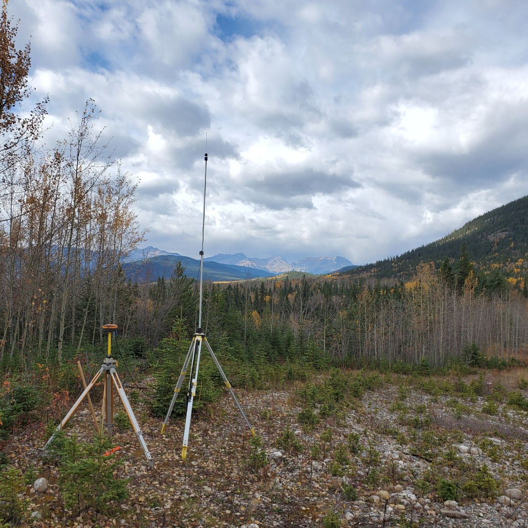
BCL has preliminary and construction surveying crews that utilize the latest in GPS and Drone technology to meet the surveying needs of our projects. We can provide contour mapping, 3D digital models, site plans, quantity measurements, orthographic and aerial imagery, and can coordinate the use of LiDAR data acquisition.
​

Our Matterport 3D camera technology allows us to capture and recreate full digital 3D scans of existing buildings, infrastructure, and document the construction process with an incredible level of detail.

  • Topography and site drainage investigations
  • Aerial imagery for inspection or site planning purposes
  • Point cloud classification
  • Construction progress
  • UAV and LiDar acquisition
  • Site modelling
  • Photogrammetry
  • Topobathymetric surveys 


Picture

PROVIDING MUNICIPAL ENGINEERING SERVICES FOR OVER 40 YEARS

Picture
Phone: 306.477.2822
​Email: [email protected]
200 - 302 Wellman Lane
Saskatoon, SK
S7T 0J1
  • BCL
  • services
    • Water Supply & Treatment
    • Wastewater Treatment
    • Land Development
    • Transportation and Roads
    • Solid Waste
    • Buildings & Municipal Services
    • Surveys
    • Electrical Engineering
    • Storm Water & Drainage
  • Projects
  • Careers
  • Contact